The triangulation points that mapped Britain
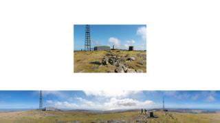
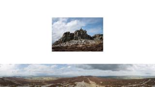
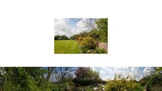
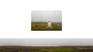
Panoramic images of triangulation points by photographers Stephen McCoy and Stephanie Wynne. …
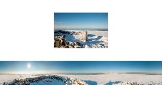
In 1936, the Ordnance Survey began to construct concrete triangulation pillars, or trig points, to aid accurate measurement and map-making using the principles of trigonometry. By 1962, more than 6,000 had been built. And Stephen McCoy and Stephanie Wynne are trying to photograph the 310 primary pillars still standing.
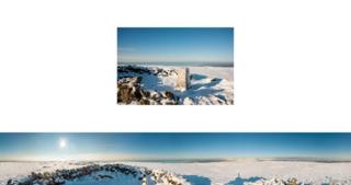

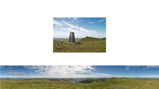

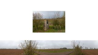
The pillars were built in positions where at least two other points could be seen in order to form triangles for accurate measurement.
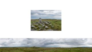
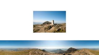
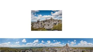
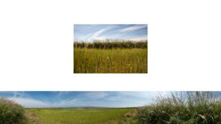
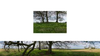
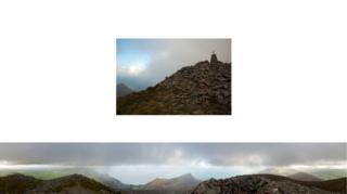
McCoy and Wynne’s work comprises large 360-degree panoramic photographs produced by placing the camera on top of the triangulation pillar, alongside a picture of the pillar itself.












All photographs copyright Stephen McCoy and Stephanie Wynne.


